Reading and understanding a Topographic map is an important skill for anyone spending time in the wilderness. Being able to understand a map, and relate it to a compass can help keep you from getting lost in an emergency situation, and can help you scout areas when looking for wild game sign. In order to relate a topographic map to the real terrain you see in front of you, you must be able to understand how they are represented on a map.
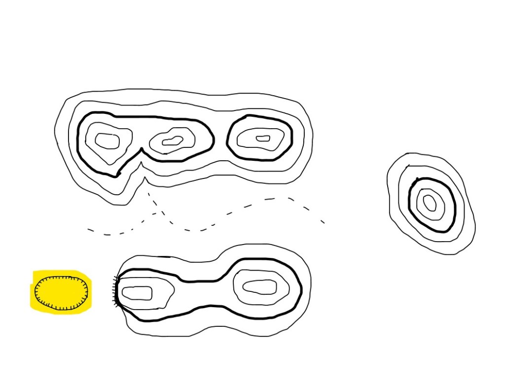
Topographic maps are two dimensional representations of the real terrain features and changes in a given area. Below, we created a drawing that shows how topographic features are depicted on maps. This does not represent an actual map or any actual location on the earth.
Topographic maps are made up of a collection of contour lines. Contour lines are lines indicated ground elevation. In order to tell what the elevation is in a terrain feature, index contours are placed usually at every fifth contour line and would often have a number indicated the elevation. Contour intervals are the space between contour lines.
(Example: A bold index contour stated 100ft with four contour lines making smaller and smaller rings inside the first, then a second index contour marked as 200ft would indicate a hill with a 100 foot elevation gain.)
The below diagram shows contour lines shown as plain black lines, index contour lines shown as bold black lines and a dotted black line that depicts a fictional stream or watercourse.
There are five Major Terrain features and three minor terrain features that can be identified by the associated contour lines.
Five Major Features – Hill, Valley, Ridge, Saddle, and Depression.
Three Minor Features -Draw, Spur and Cliff.
Major Features
Hill – A hill is a point height point of ground with terrain sloping down in all directions from the top of the hill. Indicated by contour lines forming smaller and smaller relatively circular shapes similar to a “bullseye” shape.
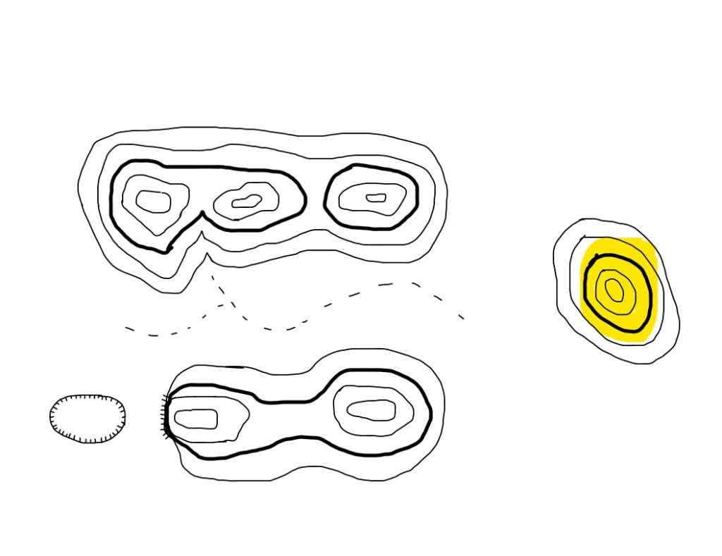
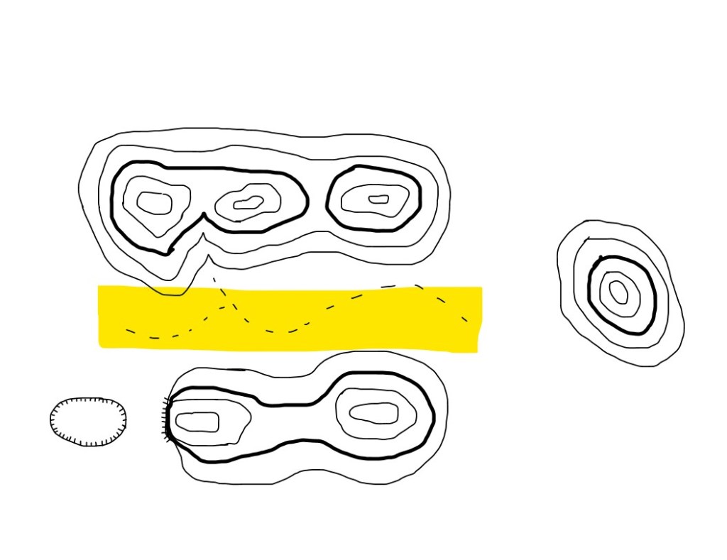
Valley – A valley is a relatively wide and typically fairly flat area with high ground bordering the sides. Valleys may contain streams and often the water courses will have many curves and meanders in a valley. Valleys are indicated by contour lines creating a ‘U’ shape, with the opening of the U pointing downhill.
Ridge – A ridge is a line of high ground with multiple height variations along the crest. Ridges often appear like a line of hills with even the lowest part between the tops being higher than the surrounding ground but may be a line of relatively level ground. Indicated by oblique, sometimes very long circles of contour lines with multiple smaller circles within it, indicating different height variations along the ridge.

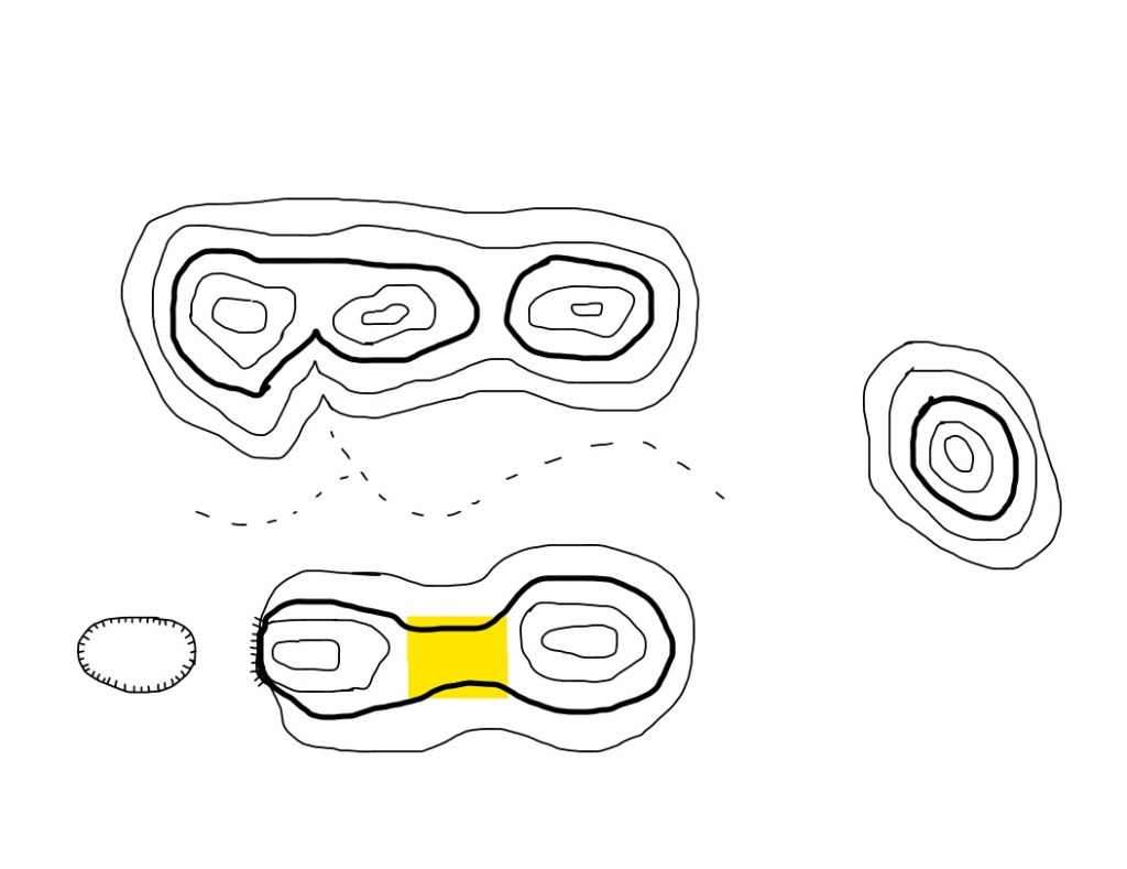
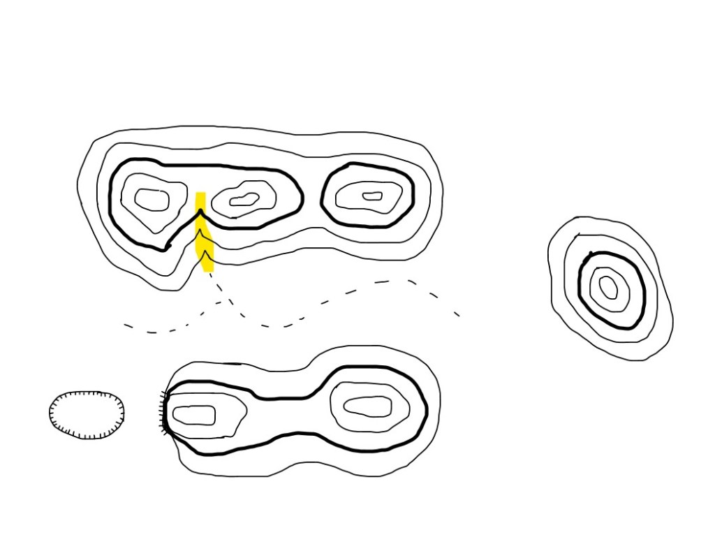
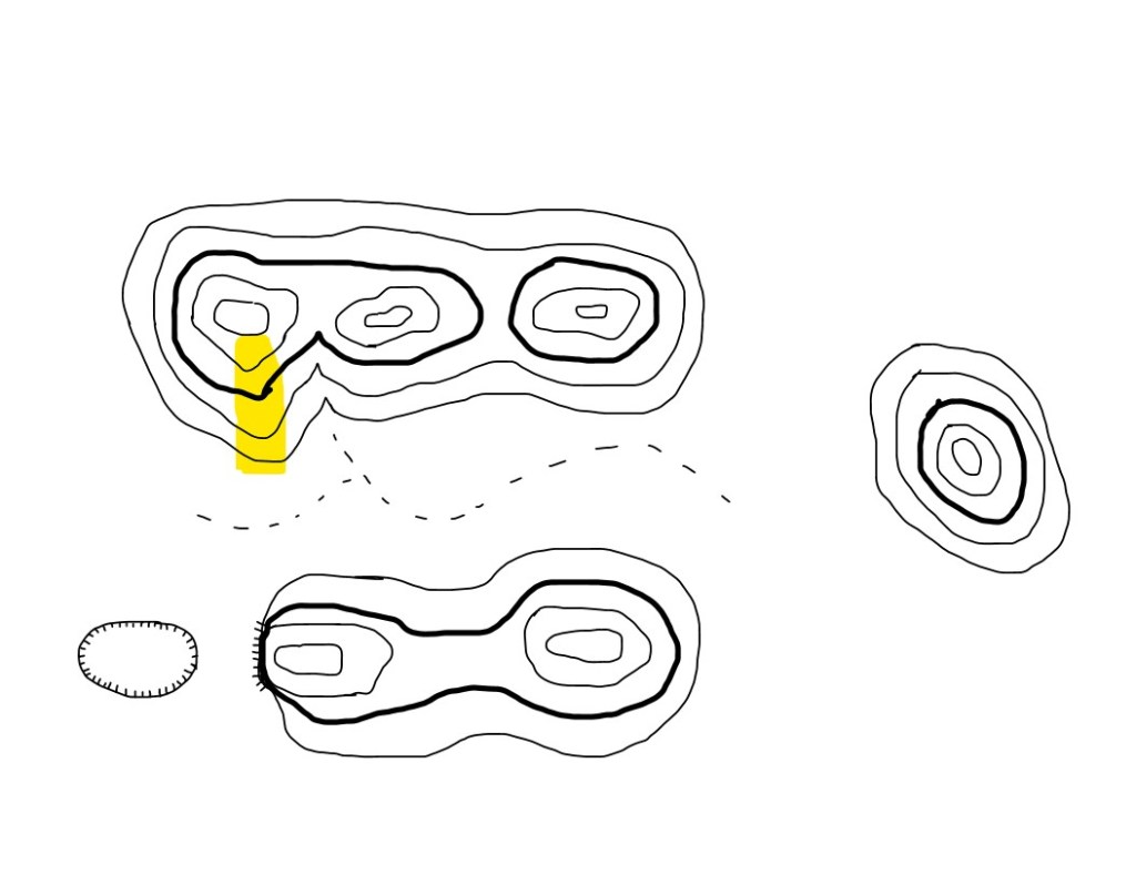
Saddle – Saddles are the low points of ground along the crest of a ridge that may separate hills or just be a lower point along a relatively level ridge. Saddles are indicated by contour lines by identifying the space in between contour circles and often have a U shape or a bend in the straight contour lines on the sides of the saddle, creating an hour glass shape.
Depression – Depressions are low points or holes in the ground that are fully surrounded by higher ground. Depressions are indicated by contour lines with small hash mark lines on one side of the contour line pointing inward to the lower ground.
Minor Features
Draw – Draws are similar to Valleys but typically smaller and less developed courses. Typically no level ground and no room between the high ground borders to allow for watercourses to maneuver and create dramatic bends. Draws are drainages that can come off flat ground to drain into a lower are or valley but more often run off the sides of Ridges. Draws are indicated by V shaped contour lines that point uphill and therefore upstream of any present water courses.
Spur – Spurs are sloping areas coming off the side of the ridge typically formed by two draws running parallel off of a ridge, leaving an area of higher ground sloping down off the ridge. Spurs are indicated by a U shaped area of a contour lines with the bottom of the U pointing downhill, away from the respective Ridgeline.
Cliff – Cliffs are near or completely vertical downhill slopes that dramatically drop off higher ground. Cliffs are indicated by contour lines coming very close together or overlapping. A cliff may also be indicated by hash marks coming off a contour line pointing to the downhill area, similar to a depression but not fully enclosed.


Leave a comment